 Crab Apples, Whipsnade zoo


Route Issues for riders
Along the Bedfordshire section there are some sections of the route that need improvement, particularly for equestrians.
Chalk Hill

The crossing of Watling Street, the A505 (old A5) at Chalk Hill, just north of Dunstable is a challenge for equestrians. Cyclists should have no real problem. The ideal proposal in 2021 is to gain a Pegasus Crossing at Chalk Hill across the A505. This would complement the other Pegasus crossings installed on route at the Icknield Way, Dunstable; Thorn Road, Houghton Regis and B5120 in Houghton Regis. Which together form a non-motorised route around the northern side of Houghton Regis.
At the July 2021 CBC & Luton JLAF it was announced that funding had been allocated for a feasibility study in 2021/22. Then, subject to costs, construction of a Pegasus crossing in 2022/23. In 2024, it was stated that a budget for a design is agreed, but not yet the building. Never resolved until built, but still progressing.
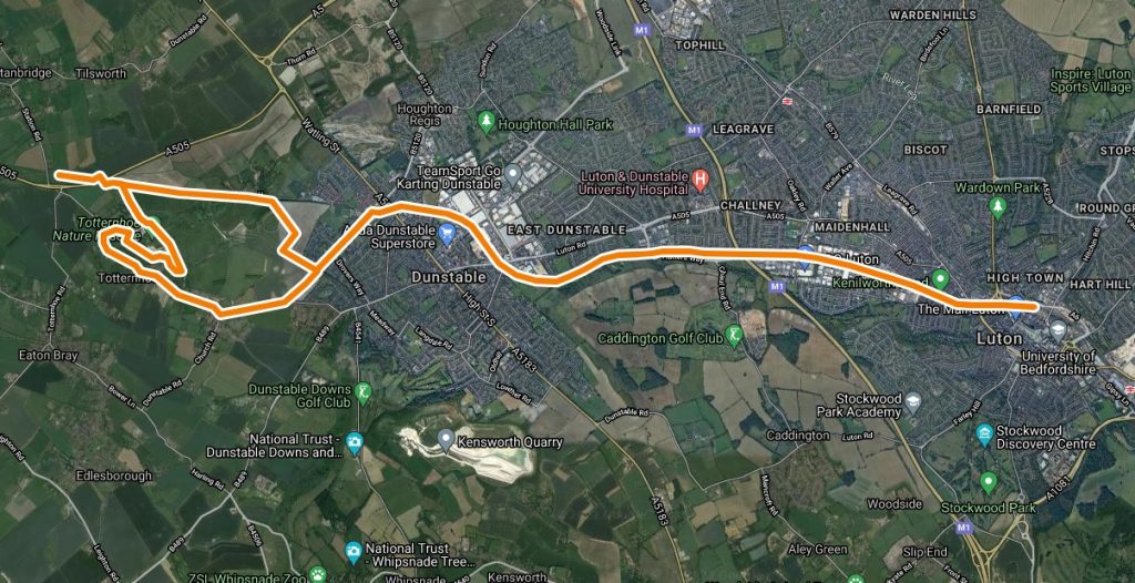
Thorn Turn
The Icknield Way path in Thorn, Houghton Regis has been changed due to the considerable building work so that it now runs on the yellow line shown. The Thorn farm bridge over the new A5 was built to equestrian standards, but in 2021 discussions are still ongoing with the farmer to upgrade the existing footpath (following yellow line) to bridleway status. This will make an excellent off road route for riders. The current riding route for cyclists follows Thorn Road and crosses the A5 on a cycle bridge to rejoin the Icknield Way. For equestrians, this route is not practical due to the need to cross the A5 on the roundabout, which is simply not viable.

Toddington/Chalton Railway

The cyclist route shown in pink crosses the railway using a footbridge which requires carrying the cycle. In results in a bit of a climb, but that is apparently what mountain bikers like!
The aspirational route is on the west side of the railway (east of Toddington motorway services) following an existing footpath, which would be upgraded to bridleway. The northern half of this footpath runs on Central Bedfordshire Council land over which the surface has already been upgraded to bridleway standard with an excellent firm surface.
The southern section of footpath was due to be upgraded, but in 2017 Network Rail failed to contest a ‘adverse possession’ claim and the field is now in the hands of a developer. The developer is aware of the aspiration to upgrade to bridleway.
GeoConservationUK – on-road cycle route
This is an on-road cycle route to explore the geology of Luton, Dunstable, Tottenhoe and Stanbridgeford. Link
Thanks to Tom Hose for preparing the descriptive leaflet and route map.
Luton Cycle Map
Luton Borough Council have produced a cycling map which shows a number of local cycle routes and other information for cyclists.